Create a digital replica of sites and apply AI to reset tower attributes.
25%
Reduce site expenditures by 25% through virtual site visits and automated analysis.
70%
Decrease truck rolls by 70% when up-to-date 3d information is available.
Digital twins alone won’t solve your problems.
But if your digitization plan is based on a solid understanding of what information currently exists and what needs to be generated, it can reset your database to the current as-built truth.

Digitize
Site digitization includes tower and ground assets, and drone collections are dictated by requirements identified in the assessment.

MACS-3D

Drone

Handheld

Analyze
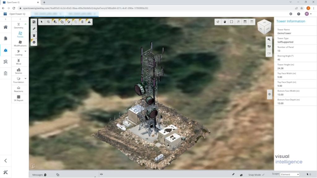
Site analytics are produced automatically using the 3D site data collected and AI-powered Digital Twin attribute extraction.

3D Model

Digital Twin

AI
Fully digitize tower and ground assets.
Tower Structure & Equipment
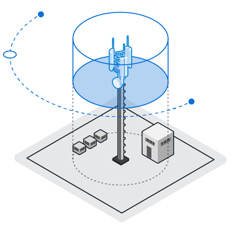
Full digital replicas of tower structures, including tower structure, equipment, cabling, safety systems, and more.
3D Reality Mesh
3D Point Cloud
2D Photos
360 Panorama
BIM Modeling


Ground Compound & Assets
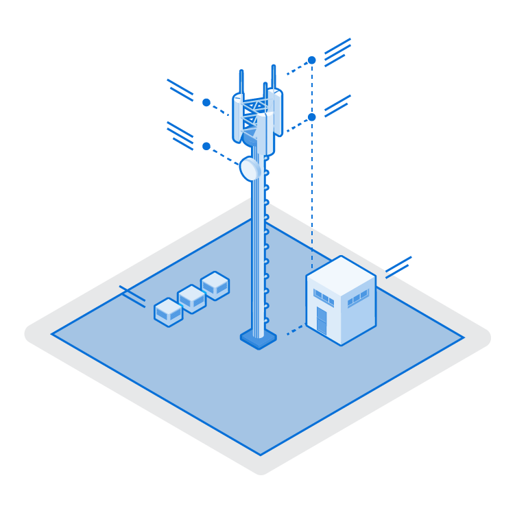
Completely digitized ground areas including site access, gate and signage, internal and external compound, and more.
3D Reality Mesh
3D Internal Compound
2D Orthomosaic
2D Photos
Drive-Up Video
Use digital twins to extract tower analytics.
Automatically identify equipment, capacity, condition, and more.
After our team collects site data, we then use AI-based digital twins to produce site analytics, cleansing your site data and filling knowledge gaps.
Dimensions & Measurements
Equipment Make & Model
Tilt, Azimuth, Orientation
Structural Geometry & Space
CAD Generation

Collections are guided by your assessment findings.
Inspection
5.0 – 10.0mm Accuracy | 80% Coverage
Applied where recent data is updated, and access to detailed CAD site drawings and Structural Analysis is available.
Enhanced
2.5 – 7.5mm Accuracy | 90% Coverage
Applied where older records are available, and access CAD site drawings and / or older Structural Analysis is available.
Your portfolio collection might look like this.
A typical digitization plan requires a mix of drone data accuracies, depending on the presence, age, and quality of site information available.
Patented Drone Sensor Technology
3D tower data is only as good as the sensor that collects it.
Drone data is limited by the sensor payload. Most drone sensors are designed to capture centimeter-accurate datasets. While useful for high-level site visibility, these sensors don’t eliminate site visits.
This led us down a path to reinvent the sensor itself. Building on insider knowledge of the tower industry, as well as decades of photogrammetry experience, we created the industry’s first aerial sensor capable of collecting 3D engineering-grade tower data.
100x
3D accuracy
20x
Model coverage
Turnkey Digitization for Telecom
We are a new kind of digital-forward services company that applies advances in drones, computing, and AI to assess and cleanse tower databases, generate critical intelligence, and inform teams with a new digital core.


